National –
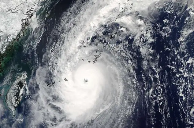
The Thai Meteorological Department (TMD) today, July 1st, announced tropical storm “Chaba” over the upper South China Sea that could result in more rains with gusty winds in some places of Thailand until Saturday, July 2nd.
According to the announcement, the “Chaba” storm that occurred over the upper South China Sea is moving slowly northwest to make landfall over the South of China on July 2nd and the 3rd.
Although it has an indirect effect on Thailand’s weather, the storm is likely to cause a monsoon across Myanmar, and the upper North of Thailand into a low-pressure cell over upper Laos as well as a rather strong southwest monsoon over the Andaman Sea and the Gulf of Thailand, resulting in isolated heavy to very heavy rains in the North, the Northeast, the East, and the South.
The affected areas are as followings:
1 July 2022
North: Mae Hong Son, Chiang Mai, Chiang Rai, Lamphun, Lampang, Phayao, Phrae, Nan, Uttaradit, Phitsanulok, and Petchabun.
Northeast: Loei, Nong Khai, Bueng Kan, Udon Thani, Nong Bua Lamphu, Sakon Nakhon, Nakhon Phanom, Khon Kaen, Maha Sarakham, Kalasin, Mukdahan, Roi Et, Yasothon, Amnat Charoen, and Ubon Ratchathani
Central: Kanchanaburi and Ratchaburi.
East: Nakhon Nayok, Prachinburi, Chachoengsao, Chonburi, Rayong, Chanthaburi, and Trat
South: Ranong, Phangnga, Phuket, and Krabi
2 July 2022
North: Mae Hong Son, Chiang Mai, Chiang Rai, Lamphun, Lampang, Phayao, Phrae, Nan, Uttaradit, Phitsanulok, and Petchabun.
Northeast: Loei, Nong Khai, Bueng Kan, Udon Thani, Nong Bua Lamphu, Sakon Nakhon, Nakhon Phanom, Khon Kaen, Kalasin, Mukdahan, Roi Et, Yasothon, Amnat Charoen, and Ubon Ratchathani.
Central: Uthai Thani, Kanchanaburi, and Ratchaburi, including Bangkok and its vicinity.
East: Nakhon Nayok, Prachinburi, Chachoengsao, Chonburi, Rayong, Chanthaburi, and Trat
South: Ranong, Phangnga, Phuket, and Krabi
The rather strong winds force the waves in the upper Andaman Sea to reach 2-3 meters high and above 3 meters high in thundershowers while the upper Gulf of Thailand could reach about 2 meters high.
The Department also warned people to beware of the severe condition that may cause overflows and flash floods. All ships should proceed with caution and keep off during thundershowers. Small boats in the upper Andaman Sea should keep ashore until July 6th.


